
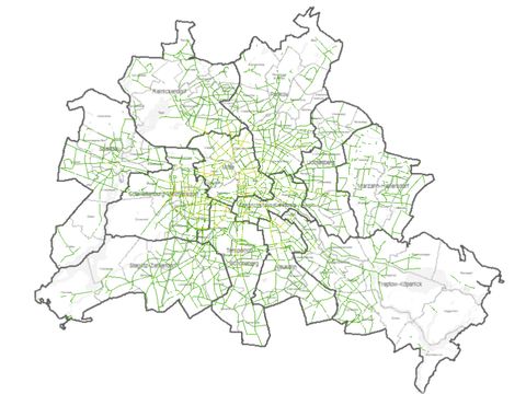
Image: Umweltatlas Berlin
03.11.2 Traffic-Related Air Pollution Along Streets 2020 and 2025
In Berlin, motor vehicle traffic has been a major source of air pollution for years. NO2 and particulate matter (PM10) pollution levels as predicted for the years 2020 and 2025 are presented here for the 12,000+ sections of the primary road network. The 2020 numbers are assessed collectively by applying an index. 03.11.2 Traffic-Related Air Pollution Along Streets 2020 and 2025