Such an extensive refinement of the spatial resolution of the modelling also requires, at the same time, correspondingly detailed data basis, which were available especially with high-resolution building and vegetation data (SenStadtUm 2014, see Statistical Base).
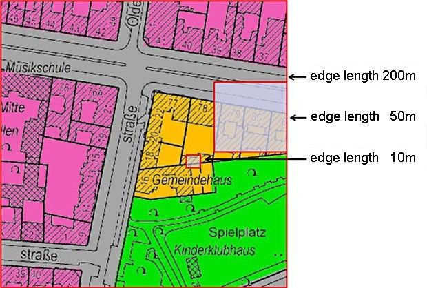
The 10 m x 10 m screen resolution now available enables a usability of the analysis results also for the evaluation and assessment processes at the level of the binding urban land use planning (land use plan level) or of the corresponding projects.
A modern climatic analysis designed for practice must particularly encompass the process system of air-exchange flows, and attempt to make a connection between these processes and the structuring of the area under investigation into spaces which are favorable and unfavorable, respectively, in terms of urban climate and air-quality. These two terms describe, from a climatic viewpoint, the structure of an area into compensation spaces, affected spaces and connecting structures (air-stream channels), and an understanding of such an area as a construct consisting of compensation and stress areas.
“A compensation space is thus an undeveloped space characterized by vegetation, which by generating cool and fresh air, can reduce or eliminate air-quality or bio-climatic burdens in an affected space via functional exchange interaction. An impact area is a space which is burdened, built-up or planned for construction, and which is connected to an adjacent compensation space via air exchange processes, or to a non-adjacent compensation space via an ventilation lane” (cf. Mosimann, Frey, Trute and Wickenkamp 1999). This procedure thus breaks fundamentally with the previously common static view based on urban climate zones, which subdivided the area of investigation into spatial units in which the micro-climatically most important factors were relatively homogeneous and the effects hardly differed (cf. VDI 1997).
The approach of model use selected here with combined evaluation of statistical base data of climate stations operated for many years (SenStadtUm 2015a) has the following important benefits:
- The comparability of results in the overall area is ensured.
- In addition to the qualitative statements designed to characterize particular urban climatic phenomena, quantitative statements concerning climate-ecological conditions and exchange processes are also possible.
- Climate-ecological compensation and process spaces are localized in the urban area and represented in their spatial dimensions as precisely as possible.
- An important aspect of the climate-ecological compensation potential of open areas – the cold-air balance – has been investigated on a comprehensive city-wide basis for the first time in Berlin.
This investigation, too, supports the repeatedly confirmed connection between the climate of various urban areas and their structure in terms of buildings, open areas and vegetation. However, the typical local climate is not only generated by the structure of an urban area but also by its situation within the city. Hence, different areas of a city can interact mutually, or with the surrounding countryside. The temperature differences between neighboring areas are of decisive importance for the climatic exchange. A reduction of these differences, e.g. due to an increase in the structural density, or the uniformization of structures, will cause the urban climate to deteriorate. The objective of the present updated maps 04.10.01 – 04.10.07 is to present the results of the current application of climate modelling.
As compared to the last edition of 2009, the range of topics of the parameters shown was extended, with respect to the evaluated parameters as well as also the spatial differentiation by offering now the original screen resolution as well as the averaged block (partial) area values as the basis for the planning advice map in the Geoportal (see Method, SenStadtUm 2016).
In order to achieve comparability with the climate parameters already published in the Digital Environmental Atlas, the distribution of air temperature during two time segments is also presented, although a direct comparison of the map representations based on measurements and analogical conclusions with the results of simulations of model applications requires that the differing frameworks be taken into account. This advice has also be considered when comparing the results of the both FITNAH model applications of the 2003/2004 edition and 2009. As on the one hand scope and level of detail of the input data, and, on the other hand, model enhancements may result in differing findings and classifications.
Moreover, the representations of the spatial delimitation and quantification of the autochthonous air exchange processes are of special significance. The term “autochthonous” describes climatic events which occur locally or independently (that is without outside effects, e.g. extensive wind flows; the opposite is “allochthonous”). They are based in the climatic effectiveness of the particular utilization structures in their respective environments, and thus provide a sound basis for the derivation of concrete planning recommendations.