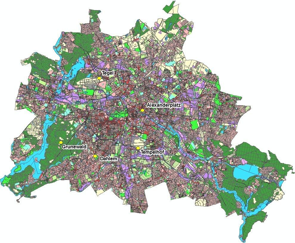
The analyses for Map 04.12 (Edition 2016) are closely linked to the work in the framework of the ERDF project 027 “GIS-based modelling of parameters relevant to urban climate on the basis of high-resolution data on buildings and vegetation” (SenStadtUm 2015a, 2016, 2016a). The analyses of the long-term measurement series of the Berlin city stations
- Alexanderplatz
- Dahlem
- Grunewald
- Tegel and
- Tempelhof
carried out in this project formed the statistical base for the further statistical considerations of the development of the climatological threshold days and were comprehensively published in a separate map with respect to the individual stations (SenStadtUm 2015). Figure 1 illustrates the location of the stations in the municipal area.

