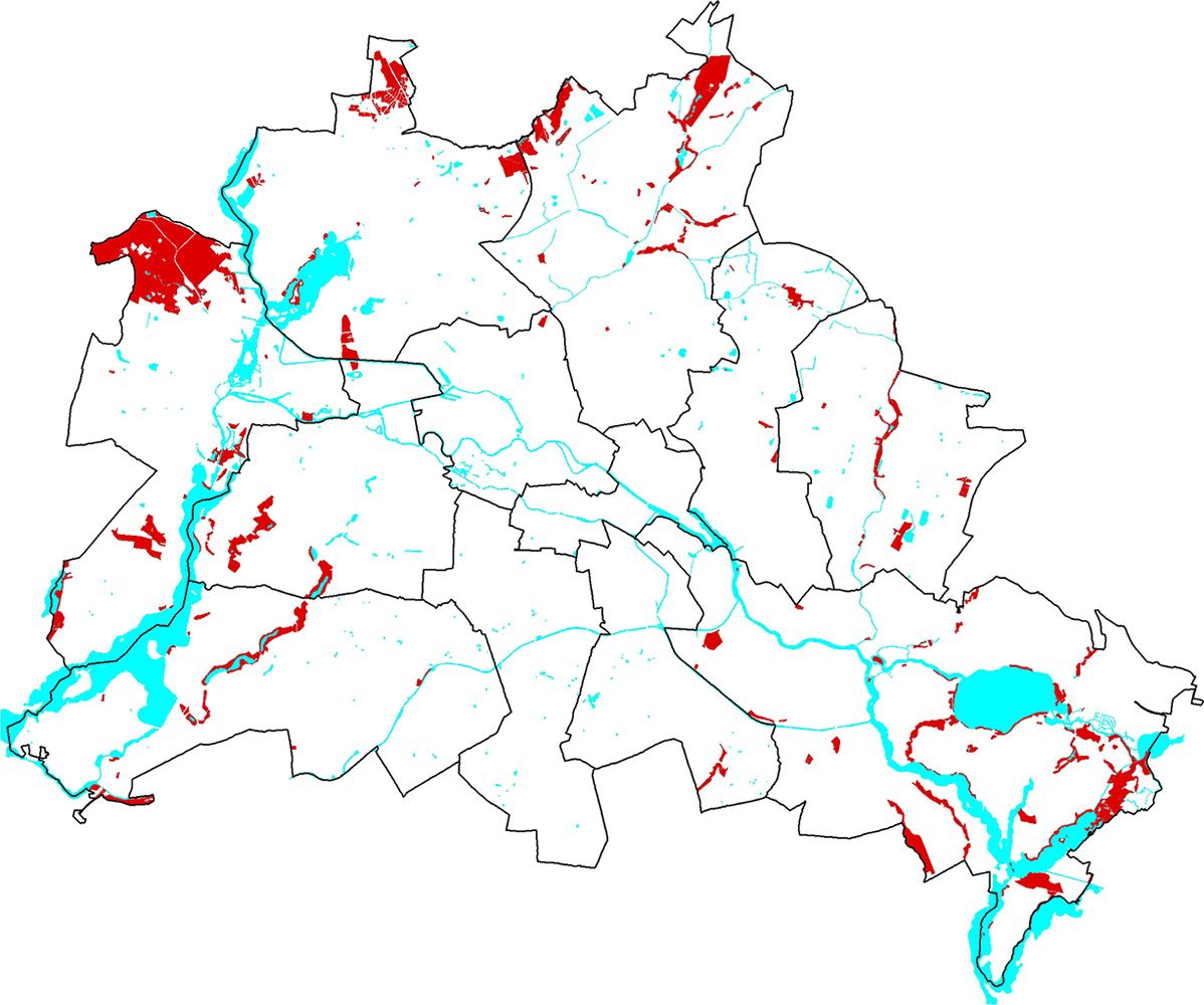
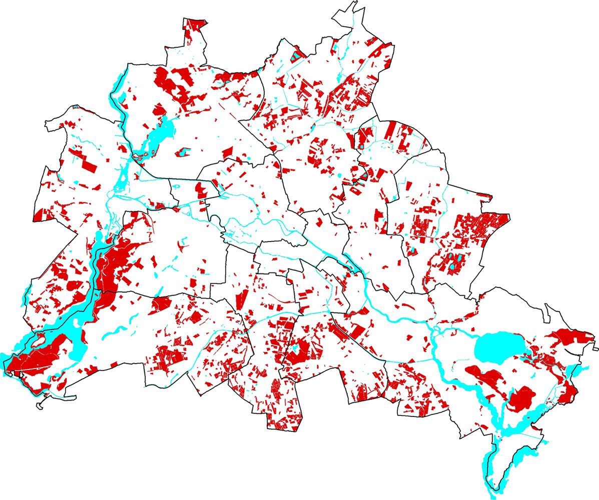
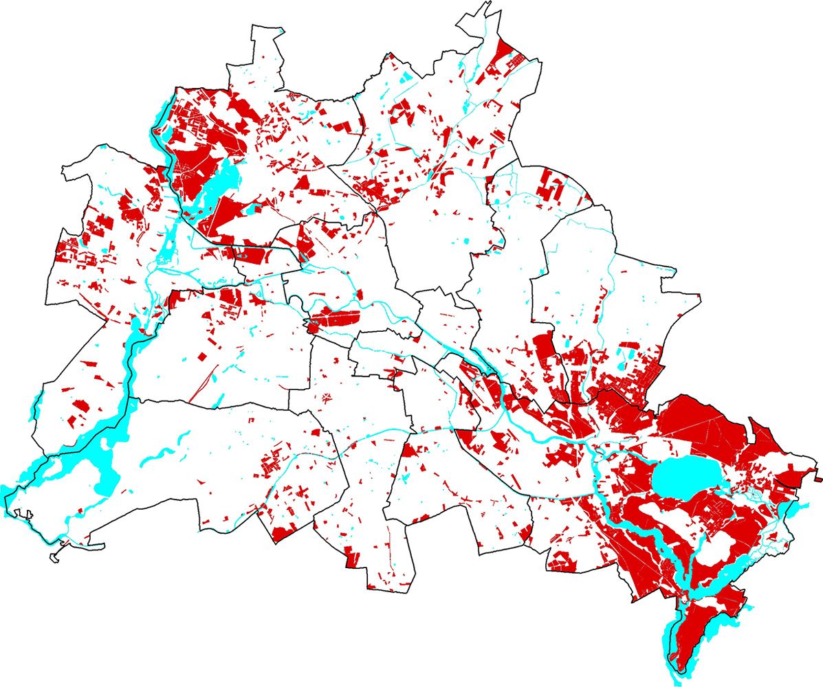
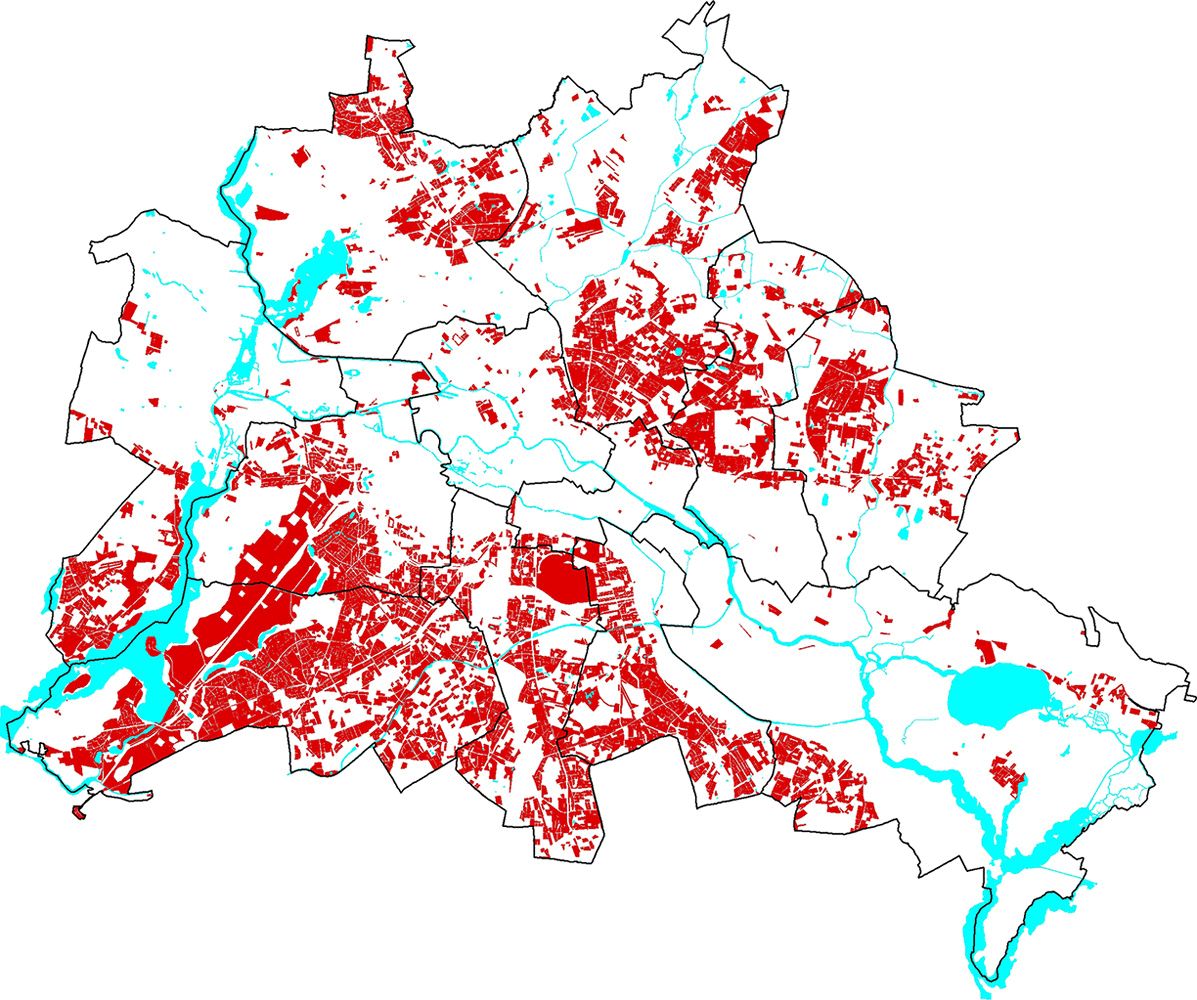
Major contiguous areas of this protection category are located in the Spandauer Forst on valley sand with mesotrophic/ eutrophic histosols (1250, 1240) and oligotrophic transitional histosols (1200). These groundwater locations are associated with calcaro-gleyic cambisols, gleysols, eutro-gleyic dystric cambisols and calcaric gleysols (1150, 1231, 1210, 1220). The soil association covering the largest area share in this category (1200) also occurs in Schmöckwitzwerder (Schwarze Berge) in southeast Berlin.
Other sites near groundwater associated with the maximum protection level are located at Tegeler Fließ, with rare dystric gleysols, calcaro-dystric histosols, and eutrophic fluvi-eutric histosols (1180, 1280), in the Bucher Forst with stagno-gleyed cambisols – gleysols – dried eutric histosols on valley sand (1164); and in Müggelheim in the Gosener and Müggelheimer Wiesen with dried eutric histosols in a valley sand lowland (1260). In the southwest of Berlin, in Kladow; dried eutric-histosols with fossil gleysols and dystric cambisols in meltwater channels in the area around the Groß Glienicker See have been assigned this high protection status (1290). Other areas located at the edge of the Grunewald chain of lakes, at the Pechsee and the Teufelssee (Grunewald) consist of dried eutric transitional histosols, stagnic gleysols, fossil gleysols and dystric cambisols (1290, 1300), and in the Tegel Airport and in the Jungfernheide area, with fluvic soils (1320). A
special phenomenon constitute the drained fluvisols with thick lime mud of Teerofen (1310).
Smaller areas with eutric histosols and gleyic soils are located at the edges of water bodies such as the Krumme Lake in Grünau und Schmöckwitz, the Neuer Wiesengraben in Köpenick, the Krumme Laake in Müggelheim, the Fredersdorfert Mühlenfließ in the Rahnsdorfer Forst, the Lietzengraben and Seegraben in Buch (all 1231) and the Wuhle in Marzahn-Hellersdorf (1270). The groundwater-characterized soil associations in the Havel lowlands in Tiefwerder (1320), in the Königsheide in Johannisthal, and the fluvisols in Heiligensee, also deserve to be mentioned.
Examples of areas with the maximum protection category and with main emphasis on the archival function are primarily the ice-age-characterized arenic dystric cambisols associated with the podzoluvisols of the Frohnauer Forst (1080), and the arenic dystric cambisols associated with luvisols in Gatow (1130), which are used as farmland.
The total area of this protection category amounts to 3,413 ha. Of these, 3,004 ha (88 %) are up to 5 % impervious, 295 ha (9 %) are between more than 5 and less than 30 % impervious and 114 ha (3 %) are 30 % and more impervious.
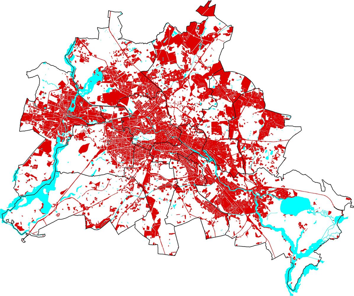
As expected, impervious coverage of less than 5 % dominates this protection category. The proportion of areas with more than 5 % of impervious coverage is small and amounts to 12 % (cf. Fig. 6 and Tab. 1). In total, 3,318 ha are pervious in this category (cf. Fig. 7).
For the most part, these areas are forests. Other uses include parks and open spaces, mixtures of meadows, bushes and trees, residential areas and areas used for agriculture (cf. Fig. 8). Most areas are already protected in other legal contexts. The maximum protection is provided by conservation law, with the definition of official protected areas.
