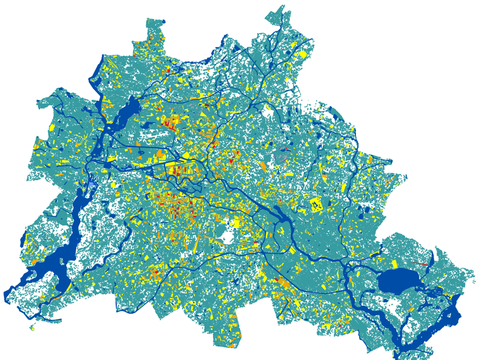
Heavy Rainfall and Flood Hazards 2024

Maps

Preview

02.24.1 Heavy Rainfall Information Map

The heavy rainfall information map illustrates the results of the BWB’s topographic depression analysis and the operations of the Berlin Fire Brigade across the State of Berlin. 02.24.1 Heavy Rainfall Information Map

Preview

02.24.2 Heavy Rainfall Hazard Map

The heavy rainfall hazard map illustrates the spatial extent of floods, flood depths (water level above ground), and flow velocities, providing insights into heavy rainfall-induced floods for different scenarios, including rare, extraordinary, and extreme events. 02.24.2 Heavy Rainfall Hazard Map