Content

Age and Inventory Structure of the Forests 1990

Maps

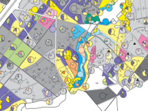
05.04.1 Spandau, Tegel, Jungfernheide, Gatow, Pichelswerder, Murellenschlucht, Grunewald, Wannsee, Lichtenrade, Marienfelde, Frohnau

Link to: 05.04.1 Spandau, Tegel, Jungfernheide, Gatow, Pichelswerder, Murellenschlucht, Grunewald, Wannsee, Lichtenrade, Marienfelde, Frohnau
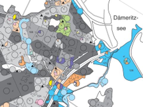
Image: Umweltatlas Berlin

This map presents forest areas under management of the Berlin forests, colour-coded according to the respective age and tree species groups. More information

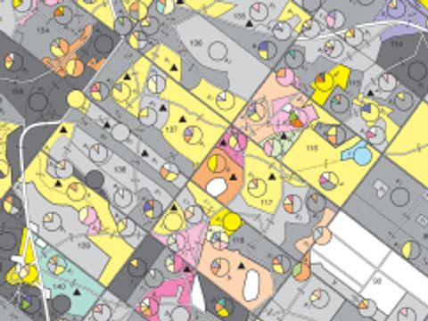
05.04.2 Grünau, Blankenfelde, Schönerlinde, Hobrechtsfelde, Wuhlheide, Schmöckwitz, Buch

Link to: 05.04.2 Grünau, Blankenfelde, Schönerlinde, Hobrechtsfelde, Wuhlheide, Schmöckwitz, Buch
Image: Umweltatlas Berlin

This map presents forest areas under management of the Berlin forests, colour-coded according to the respective age and tree species groups. More information

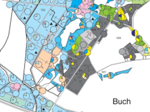
05.04.3 Friedrichshagen, Müggelsee, Rahnsdorf, Kaulsdorf, Köpenick, Fahlenberg, Müggelheim, Wuhletal, Hohenschönhausen

Link to: 05.04.3 Friedrichshagen, Müggelsee, Rahnsdorf, Kaulsdorf, Köpenick, Fahlenberg, Müggelheim, Wuhletal, Hohenschönhausen
Image: Umweltatlas Berlin

This map presents forest areas under management of the Berlin forests, colour-coded according to the respective age and tree species groups. More information

05.04.4 Wansdorf, Stolpe, Gorin, Parforceheide

Link to: 05.04.4 Wansdorf, Stolpe, Gorin, Parforceheide
Image: Umweltatlas Berlin

This map presents forest areas under management of the Berlin forests, colour-coded according to the respective age and tree species groups. More information