The HYRAS-DE-PRE grids of the 30-year mean precipitation for Germany covering the period from 1991 to 2020 formed the statistical base (version v5.0, retrieved on December 2, 2022). The DWD provides these as part of a freely accessible data set via the Climate Data Center (CDC) (DWD 2022b). The HYRAS-PRE-DE data is embedded in a 1 km x 1 km grid based on a Lambert conformal conic projection.
Precipitation data is available for multiple reference periods (1961-1990, 1971-2000, 1981-2010 and 1991-2020). It reflects the 30-year mean amount of precipitation (in millimetres) for each calendar month, the four meteorological seasons, water management periods of 6 months and the entire year per reference period.
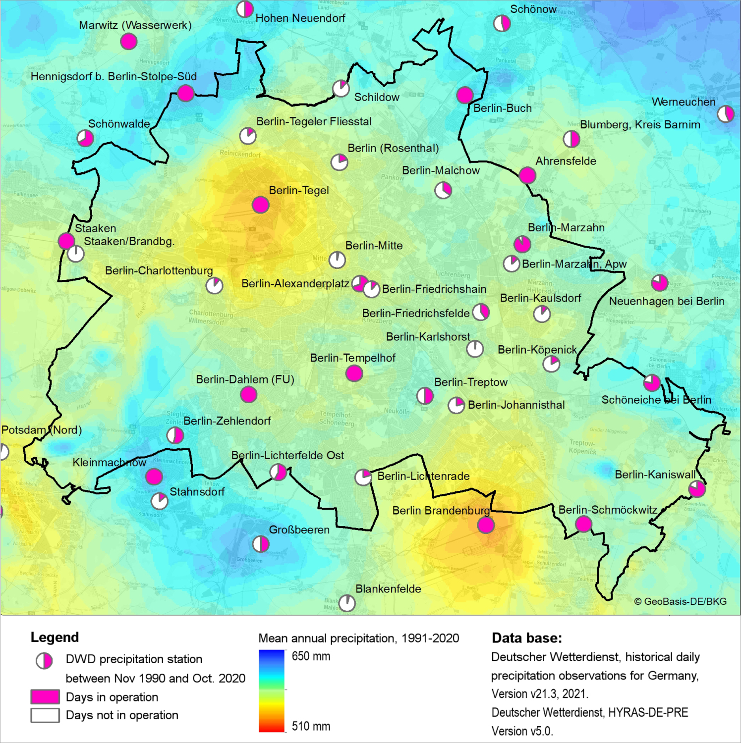
The DWD has ensured that the precipitation data used is complete and consistent and has corrected the data where necessary. The HYRAS-DE-PRE grids do not correct for systematic precipitation losses due to wetting, evaporation and wind effects, however. Measurement errors are influenced by many factors, including the station type, installation site, precipitation pattern and precipitation type. For conventional precipitation gauges (Hellmann) across the Nordostdeutsches Tiefland (Northeast German Plain), the precipitation measurement error in the annual mean ranges between 8.6 and 16.6 %, depending on wind exposure (cf. Richter 1995, only in German). In the methodology presented in Rauthe et. al. 2013, the DWD mentions that the true precipitation is underestimated by at least 10 %.
The regionalisation method is essentially based on the interpolation of anomalies in relation to long-term means. For this purpose, background fields are determined for precipitation distributions. Based on these, the amount of precipitation is then calculated. Background fields are calculated by multiple linear regression taking into account geographical location, altitude, slope and direction of slope that may influence the amount of precipitation and its distribution. As a next step, the measured station precipitation and the background fields are interpolated to calculate regionalised precipitation. If a grid point coincides with a station, the value of that station is used.
The regionalisation method is described in detail in Rauthe et. al. 2013. See DWD 2022b (only in German) for a condensed methodology and a description of the data set.
The analysis of the long-term mean precipitation between 1981 and 2010, which is also available in the Environmental Atlas, was based on REGNIE grids. However, REGNIE was discontinued as a data set. It was succeeded and replaced by HYRAS-PRE-DE on January 1, 2022. The DWD’s process for generating precipitation grids has generally remained the same. It was developed further scientifically, however, to rectify known weaknesses and implement technical adjustments. The main changes include:
- an updated reference period for the background field. The field is now based on the period from 1971 to 2000 instead of 1961 to 1990. According to the DWD’s assessment, the impact of this change is negligible, as the 30-year means differ only slightly,
- an adjustment in the calculation of the background fields, correcting orographic effects that were previously overemphasised. According to the DWD, this results in changes mainly in the _Mittelgebirge_ (low mountain ranges) and the Alps,
- the generation of data in a projected grid (Lambert conformal conic projection), rather than a geographical grid,
- water management periods of six months that were added to the evaluation periods, and
- the provision of results in netCDF files.