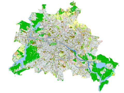
Image: Umweltatlas Berlin
05.08.1 Biotope Types
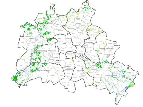
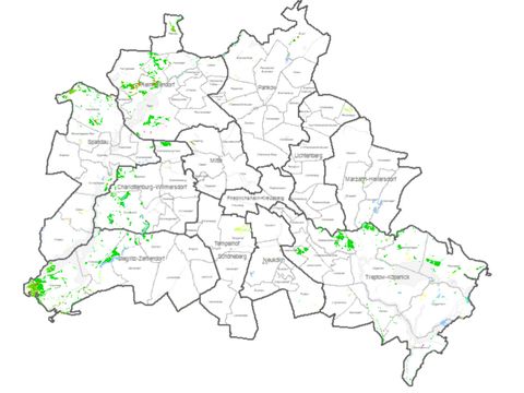
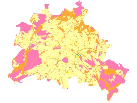
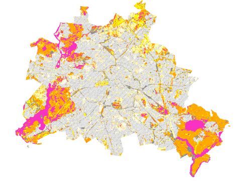
The comprehensive Biotope Types map provides detailed descriptions of more than 80,000 biotopes. Besides their habitats, the map focusses on their flora and fauna indicating their characteristics as well as any threats and impairments. 05.08.1 Biotope Types

