A statistical base was provided by the results of 97 precipitation monitoring stations for Berlin and the surrounding countryside, operated by the Freie Universität or the German Weather Service (cf. Schlaak 1991 and Deutscher Wetterdienst 1992 and cf. Fig. 2).
New
The Environmental Atlas maps are available in the new Map Application
Long-term Precipitation Distribution 1961 - 1990
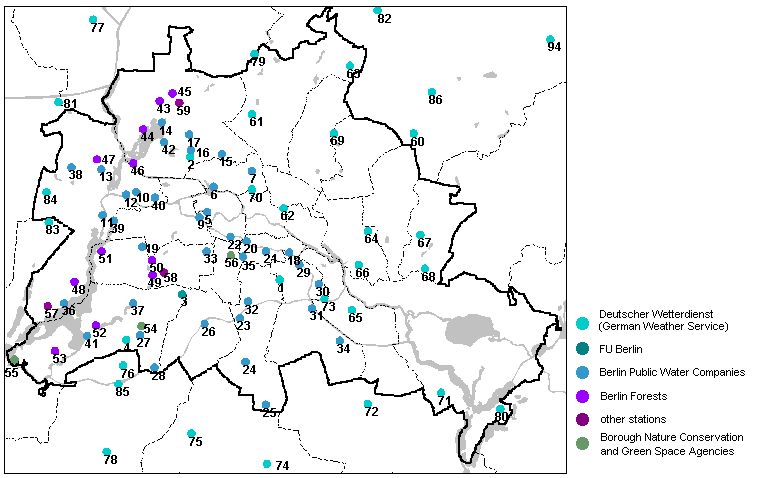
Fig. 2: Distribution of Precipitation Monitoring Stations for Calculating Precipitation Contour Lines
Image: Umweltatlas Berlin
Environmental Atlas Contact
Berlin Senate Department for Urban Development, Building and Housing
Mrs. Haag