2008 – First analogue map
On the initiative of Berlin’s piekart Press, a public-private partnership was formed in late 2007 between the publisher, nature conservancy organisations and the Senate Department for Urban Development to launch the first general map for walkers in bookshops in 2008. As early as May 2008, the jointly produced general map entitled “Flanieren – Spazieren – Wandern” (Strolling – Walking – Hiking) was available in nearly all Berlin bookstores as well as in outlets with a wide range of newspapers and magazines. In 2018 the publisher ceases its publishing activities.
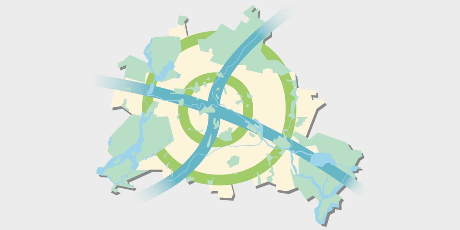
2009 – Flyer “Berlin’s Green Belt”
As part of the 20th anniversary celebrations of the fall of the Berlin Wall, the Senate Department for Urban Development presented its flyer “Grünes Band Berlin” (Berlin’s Green Belt). The flyer, inspired by the European Green Belt, focused on those stretches of still largely untouched countryside along the course of the former Wall. The route presented, covering the northern section along the inner-city Wall, is also part of the North-South-Walk (Walk No. 5) of the 20 Green Walks network.
2010 – Second analogue map
The second publisher to publish the 20 green main paths in its large hiking and cycling map “Berlin and the surrounding area – excursions to Berlin’s sights” (in the 1st edition 2010) is the Dr. Barthel Verlag.
since 2010 – Signage along the walks
The first marking of the entire network of trails was realized in 2010 by the “Kompetenzzentrum für Ingenieurbiologie e.V.” (Competence Center for Engineering Biology). Since 2011, the signed routes have been walked by the “adopt-a-walk” sponsors from the not-for-profit Berliner Wanderverband e.V. hiking association. Their reports provide the basis for monitoring and updating the walks annually. They also mark the walks with the typical German waymarkers (white-blue-white) (annually). The Senate Department then publishes the latest, officially coordinated network of walks.
2014 – Priority concept to close the gaps
In 2014, the Senate Department for Urban Development and Environment commissioned an investigation into the remaining gaps in the route network (priority concept for closing the gaps in the 20 main green routes). It contains specific statements on the state of the gaps, proposed measures for the further development of the route network and closing of the gaps as well as statements on the effort and prioritization of closing the gaps.
since 2018 – Feasibility studies to close the gaps
On the basis of the above-mentioned priority concept, more detailed investigations within the framework of so-called feasibility studies were commissioned for selected gaps, of which the closure seems to be realistic. These should demonstrate the feasibility of closing the gap by specifying the measures and work steps to be carried out, checking the availability of the property and estimate the costs.
since 2021 – Analog maps for download
In addition to the data for further digital use, PDF files are also available for download since May 2021. These can be printed out by anyone if the analogue hiking map from Dr. Barthel Verlag is not at hand and the digital devices are not in use (or should not be used).)
2021 – Current analog map
Also in the 3rd edition of the large hiking and cycling map Berlin and the surrounding area – excursions to Berlin’s sights by Dr. Barthel Verlag from April 2021 you can find the 20 main green walks (ISBN: 978-3-89591-148-4).