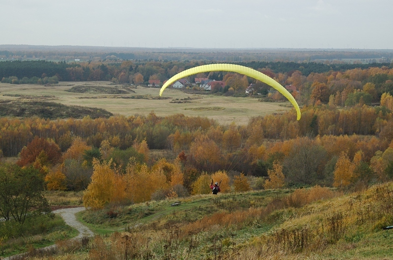
The Spandau Walk crosses the entire borough of Spandau, starting from the north at the canal “Aalemannkanal” and leaving the borough at the district of Kladow to the south. This walk passes through some impressive Berlin landscapes to the west of the river “Havel”. In the northern section, the route skirts the extensive woodland of the forest “Spandauer Forst” before continuing across the Staaken residential quarter to the former wastewater farmland of the “Rieselfelder” near the banks of the river “Havel” in the north of the Gatow district. On this section, the Spandau Walk largely follows the Berlin Wall Trail. From Gatow, the route keeps to the banks of the river “Havel”.
Current language: English
Walk 2 – Spandau Walk (33 km)

Island "Pfaueninsel"
Image: Berlin Partner/FTB-Werbefotografie
Contact
Senate Department for Urban Mobility, Transport, Climate Action and the Environment
Christiane Fuchs
Katrin Rittel
Contact person for path markings
Berliner Wanderverband e.V.
Dr. Pagel