The Lübars Walk is a classic example of a green city walk, with nearly the entire route running through green areas. The Lübars Walk belongs to Berlin’s Green Belt, a landscape conservation area along the former course of the Berlin Wall from the city centre to the section of the Barnim plateau within Berlin’s northern city boundaries. For decades, these green open spaces remained nearly untouched. Even today, they are crossed by hardly more than ten roads.
Current language: English
Walk 4 – Lübars Walk (14 km)
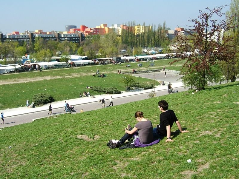
Wall Park (Mauerpark)
Image: SenUVK

Contact
Senate Department for Urban Mobility, Transport, Climate Action and the Environment
Christiane Fuchs
Katrin Rittel
Contact person for path markings
Berliner Wanderverband e.V.
Dr. Pagel