The Inner Park Ring Walk takes a large loop around Berlin’s inner city. It passes through a chain of large and small green parks and gardens, and explores some of the city’s lesser known green areas. Since 2008, the Inner Park Ring has also included the spreading open spaces of the former Berlin-Tempelhof airfield. Here, you can enjoy the remarkable experience of over two kilometres of open space right in the heart of a major city! Volkspark Wilmersdorf, landscaped in the early 20th century in an ice-age gulley, is also an impressively large park. In north-west Berlin, the Inner Park Ring crosses Volkspark Jungfernheide, the city’s second largest park.
Current language: English
Walk 18 – Inner Park Ring Walk (52 km)
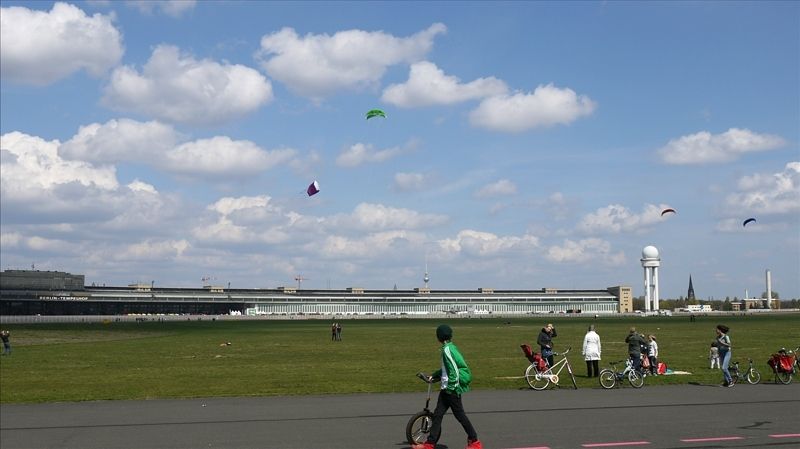
Tempelhofer Feld park
Image: SenUVK


Contact
Senate Department for Urban Mobility, Transport, Climate Action and the Environment
Christiane Fuchs
Katrin Rittel
Contact person for path markings
Berliner Wanderverband e.V.
Dr. Pagel