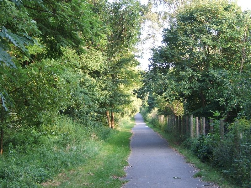
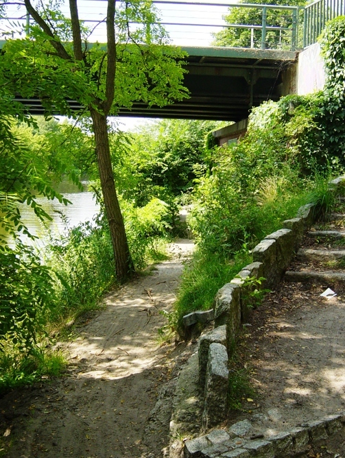
The Teltow Villages Walk, similarly to the Barnim Villages Walk, connects a series of villages. Starting at the lake “Krumme Lanke” on the Teltow plateau in the south of Berlin, the walk takes a zigzag route across the residential areas of Zehlendorf, Lichterfelde, Marienfelde, Lichtenrade, Buckow, Rudow and Adlershof. One hundred years ago, the Teltow Villages Walk between the “forest” Grunewald chain of lakes and the river “Spree” in Köpenick would have crossed rural regions of fields, meadows and little villages.
Current language: English
Walk 15 – Teltow Villages Walk (48 km)
Hill "Rudower Höhe"
Image: SenUVK
Contact
Senate Department for Urban Mobility, Transport, Climate Action and the Environment
Christiane Fuchs
Katrin Rittel
Contact person for path markings
Berliner Wanderverband e.V.
Dr. Pagel