Aerial views of the Wall
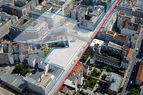
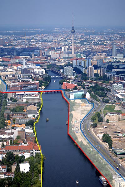
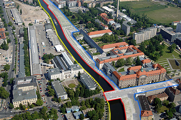
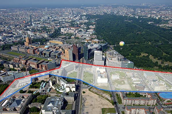
“Where was the Berlin Wall?” This question, asked frequently by visitors and even Berliners, can be answered better in many places from a bird’s eye view than by taking a walk through the city.
The “no man’s land” that was between five and several hundred meters wide has disappeared from Berlin, and streets, green spaces, and new city districts have taken its place.
In these aerial photos from 2005, the outer wall, built on the border to West Berlin, is marked in red, and the inner wall behind it in blue. The political border that was crucial to fugitives is shown in yellow wherever it deviates from the location of the outer wall.
Contact
Governing Mayor of Berlin – Senate Chancellery –
- Tel.: +49 30 9026-2435
- Fax: +49 30 9026-2285
- E-mail an die Landesredaktion Berlin.de

 German Sign language


