“Where was the Wall?” is undoubtedly one of the questions asked most frequently by people visiting Berlin. Many native Berliners and newer residents, however, are also interested in seeing remnants of the former border installations inside the city.
As part of its overall concept for the Berlin Wall, the Senate intends to preserve the existing remnants of the Wall and to post additional signs and information to give people a deeper understanding of their historical significance. The following projects have already been realized:
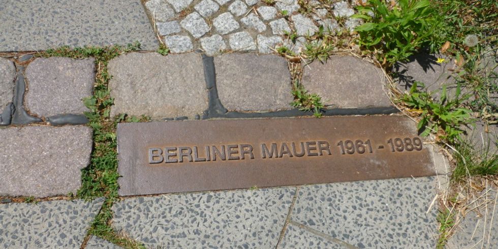
- Marking the Wall’s route through the city center with a double row of cobblestones on public streets and sidewalks
- The Berlin Wall History Mile with a current total of 32 info boards along the course of the Wall inside the City
- Memorial markers along the course of the former Wall for people who died trying to cross it
- References to Wall sites included among the blue signs that help tourists find their bearings
- An information and orientation system consisting of twelve pillars located at inner-city sites vital to the history of the Berlin Wall
- Building and expanding the Berlin Wall Memorial at a historic site on Bernauer Strasse to make it the central memorial to German division.
- A site-specific outdoor Exhibition “Checkpoint Gallery” and the temporary exhibition “Black Box Cold War” as a preview to the planned “Center on the Cold War” at Checkpoint Charlie
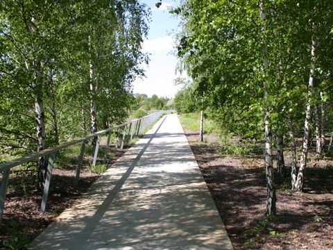
- The Berlin Wall Trail along the former border strip that circled West Berlin
- The open-air exhibition at “Platz des 9. November 1989” at the site of the former GDR border crossing on Bornholmer Strasse
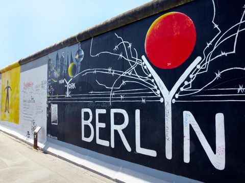
- Restoration of the protected landmark “East Side Gallery”


