German Sign language
 Topography of Terror
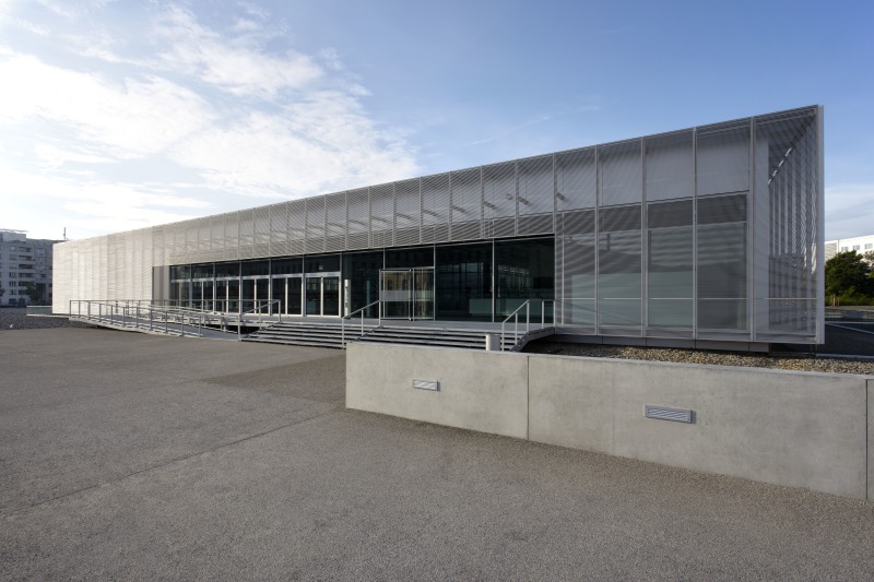
 Preserved sections of the outer wall Topography of Terror
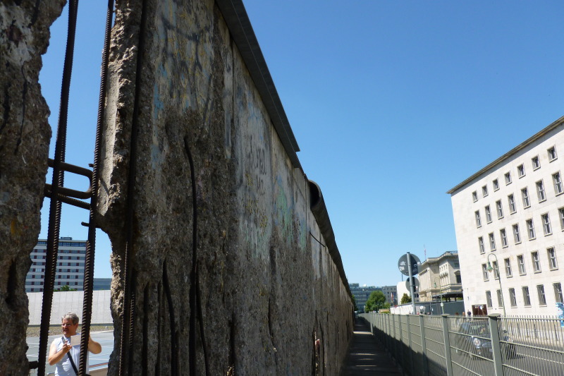
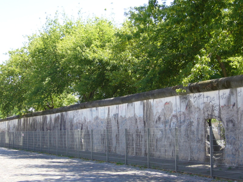
  Berlin Wall History Mile Zimmerstrasse/Wilhelmstrasse
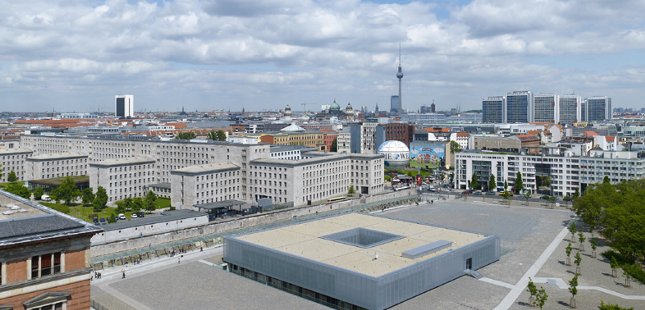
From 1933 to 1945, the headquarters of the Gestapo, the Gestapo “house prison,” and, after 1939, the Reich Security Main Office, as well as the SS High Command and the Security Service of the SS High Command, were located on the grounds of what is now the Topography of Terror documentation center. An open-air exhibition documents the history of this site as the control center of the National Socialist program of persecution and annihilation.
Staff members of the Topography of Terror documentation center managed to preserve a section of the Berlin Wall at a time when the Wall was scheduled to be removed from the city center entirely. This section of the Wall has been classified as a historical monument since 1990.