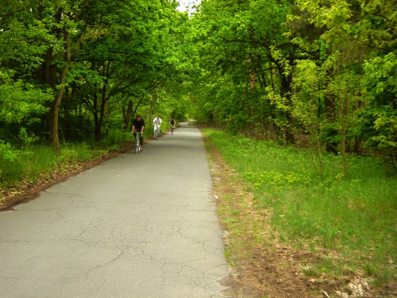
You can get back to the main route from the old border crossing via the side road. The main route will take you via Bäkestrasse, Neue Kreisstrasse, and Stubenrauchstrasse to the Griebnitzsee S-Bahn station, the former border crossing for passengers traveling by train. Where the main route and side road intersect, a cul-de-sac leads into the West Berlin exclave Steinstücken. With a population of around 200, it belonged to Berlin’s American sector but was located on GDR territory. Three U.S. military policemen were stationed here as a symbolic gesture, and the U.S. Army Aviation Detachment Berlin kept a helicopter here ready to take off to West Berlin. Not until 1972 could the road to Steinstücken be taken over and improved by West Berlin. A Berlin Wall Trail info board, the memorial for Willi Marzahn on Königsweg, and the helicopter memorial on Teltower Strasse recall the historical situation. The 21-year-old Willi Marzahn was a non-commissioned officer in the GDR’s
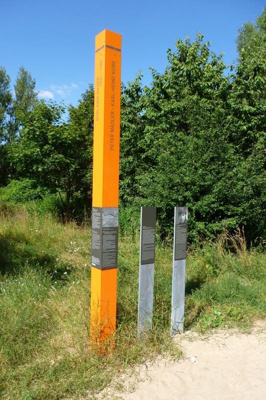
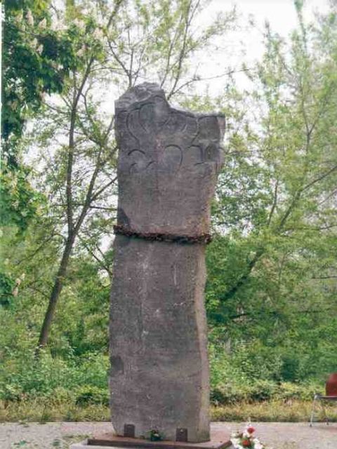
National People’s Army when he and a fellow soldier tried to escape to West Berlin on 19 March 1966. A gun fight ensued when they were spotted by border guards; Willi Marzahn was shot and killed, while his friend made it to West Berlin. Peter Hauptmann, who was not trying to flee the country, was shot in the border area in front of his house on Stahnsdorfer Strasse on 3 May 1965. Traveling south on Bernhard-Beyer-Strasse, you will see an info marker dedicated to him.
 German Sign language
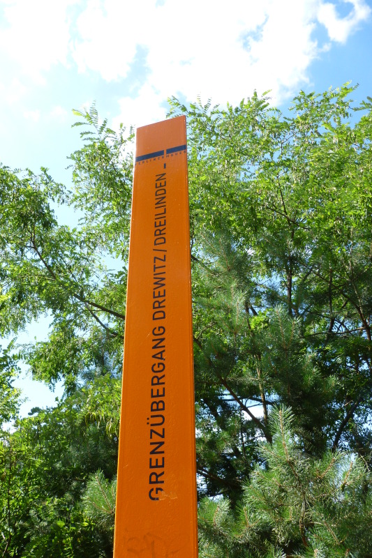
 Former border crossings
 Museums and exhibitions
 Memorials
 Artistic markers
 Memorial sites for the victims of the Berlin Wall
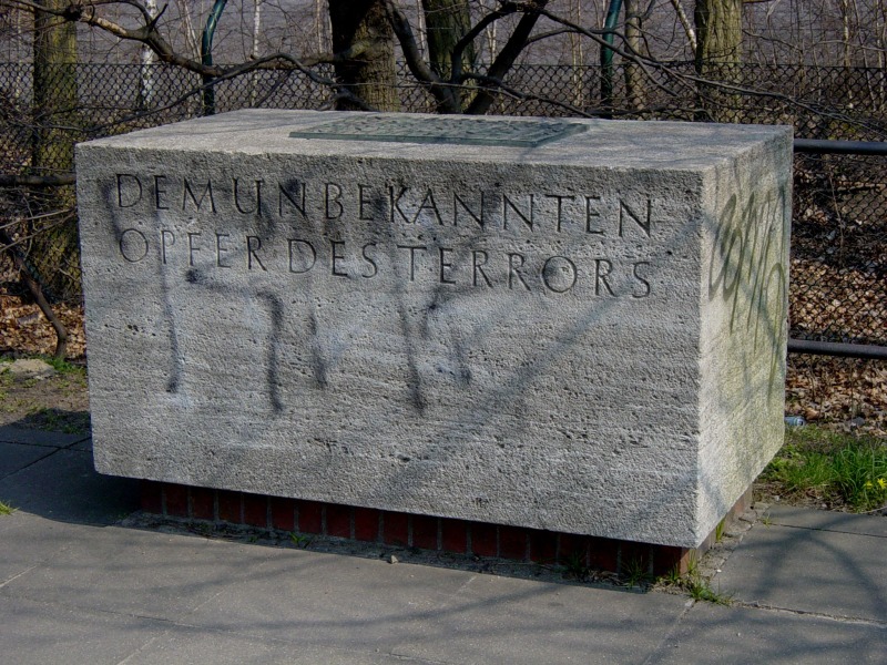
 Commemorative sites
 Remains of the Wall
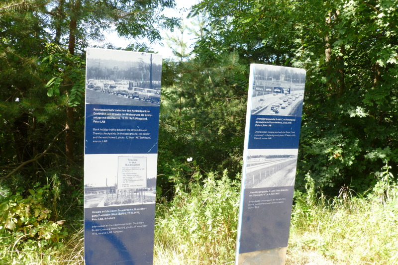
 Historical information
 Places of interest
 Other key sites