The Kaulsdorf Walk primarily leads through green settlement areas. While Rummelsburg and Friedrichsfelde still largely have an urban character, once you pass to the east of Treskowallee in Karlshorst you almost exclusively find terraced or detached houses. From here, the walk skirts the edge of a flooded gravel pit, now the lake “Biesdorfer Baggersee”, and crosses the centres of Biesdorf and Kaulsdorf.
Current language: English
Walk 8 – Kaulsdorf Walk (17 km)
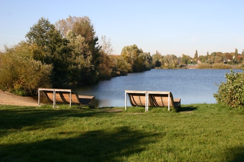
Lake "Biesdorfer Baggersee" (flooded gravel pit)
Image: SenUVK


Contact
Senate Department for Urban Mobility, Transport, Climate Action and the Environment
Christiane Fuchs
Katrin Rittel
Contact person for path markings
Berliner Wanderverband e.V.
Dr. Pagel