The Wuhle Valley Walk follows the route of the Wuhle stream from Ahrensfelde to its confluence with the river “Spree”. As late as the 1980s, the Wuhle stream had a reputation as an open wastewater canal. Today, it is a clean, peacefully flowing stream, and even has little fish splashing in the water. With its park-like landscape, the northern Wuhle valley between the large suburban housing estates in Marzahn and Hellersdorf is now one of the most popular green areas in north-east Berlin.
Current language: English
Walk 14 – Wuhle Valley Walk (16 km)
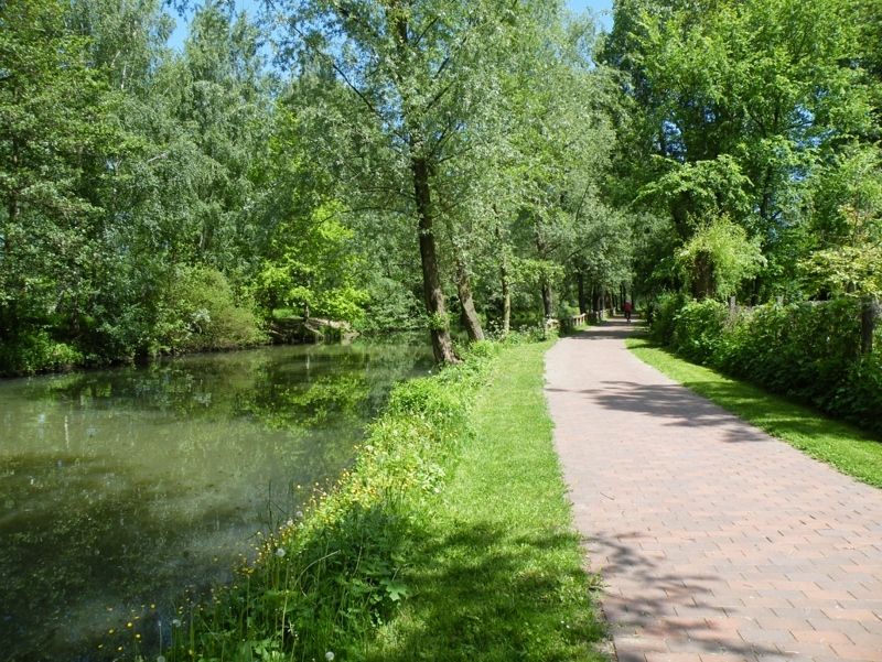
The Wuhle at the "Alte Försterei" in Köpenick
Image: SenUVK


Contact
Senate Department for Urban Mobility, Transport, Climate Action and the Environment
Christiane Fuchs
Katrin Rittel
Contact person for path markings
Berliner Wanderverband e.V.
Dr. Pagel