The North-South Walk starts from Berlin’s northern city border following the small river “Panke”, a tributary of the river “Spree”, to its (historical) confluence with the Spree opposite Friedrichstraße Station. But that is only half of the North-South walk! On the other side of the Spree, the walk continues to the city’s southern border in Marienfelde.
Current language: English
Walk 5 – North-South-Walk (44 km)
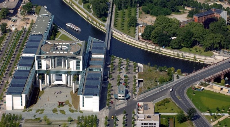
Chancellery
Image: Partner für Berlin/FTB-Werbefotografie

Contact
Senate Department for Urban Mobility, Transport, Climate Action and the Environment
Christiane Fuchs
Katrin Rittel
Contact person for path markings
Berliner Wanderverband e.V.
Dr. Pagel